GeoPose3K: Mountain Landscape Dataset for Camera Pose Estimation in Outdoor Environments
|
Jan Brejcha, ibrejcha@fit.vutbr.cz Martin Čadík, cadikm@centrum.cz |
Abstract
We introduce a new dataset called GeoPose3K which contains over three thousand precise camera poses of mountain landscape images. In addition to camera location and orientation, we provide data for the training and evaluation of computer vision methods and applications in the context of outdoor scenes; synthetic depth maps, normal maps, illumination simulation and semantic labels. In order to illustrate properties of the dataset, we compare results achieved by state-of-the-art visual geo-localization method on GeoPose3K with results achieved on an existing dataset for visual geo-localization. So as to foster research of computer vision algorithms for outdoor environments, several novel future use-cases of our new GeoPose3K dataset are proposed.
Dataset contents
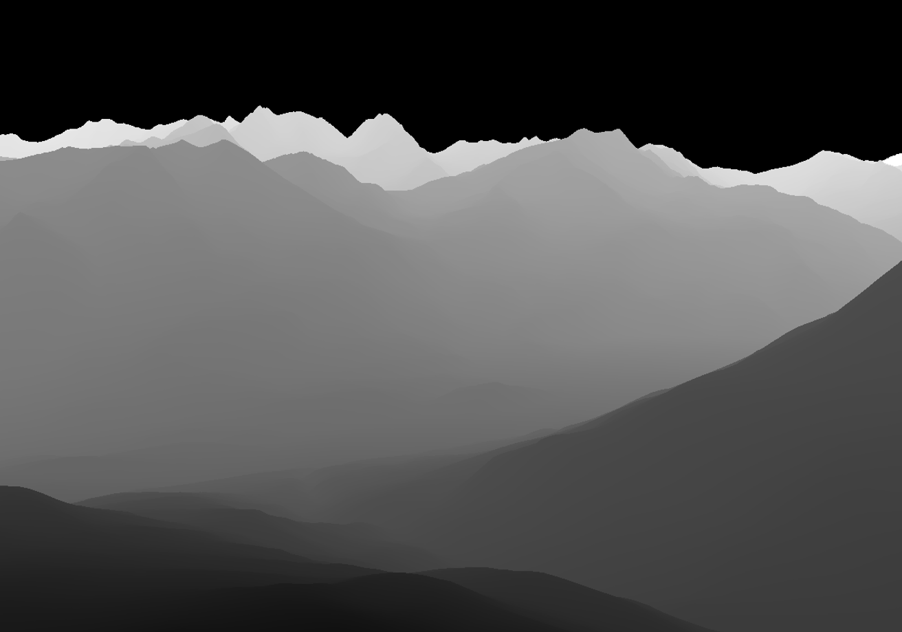
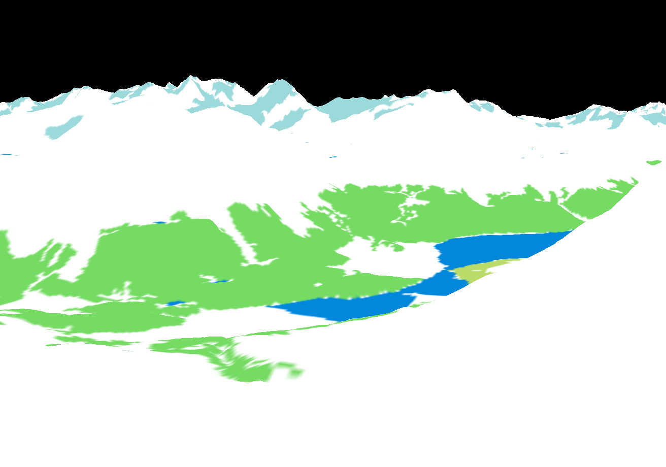
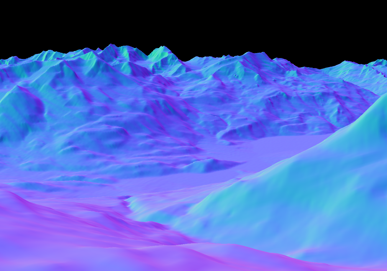
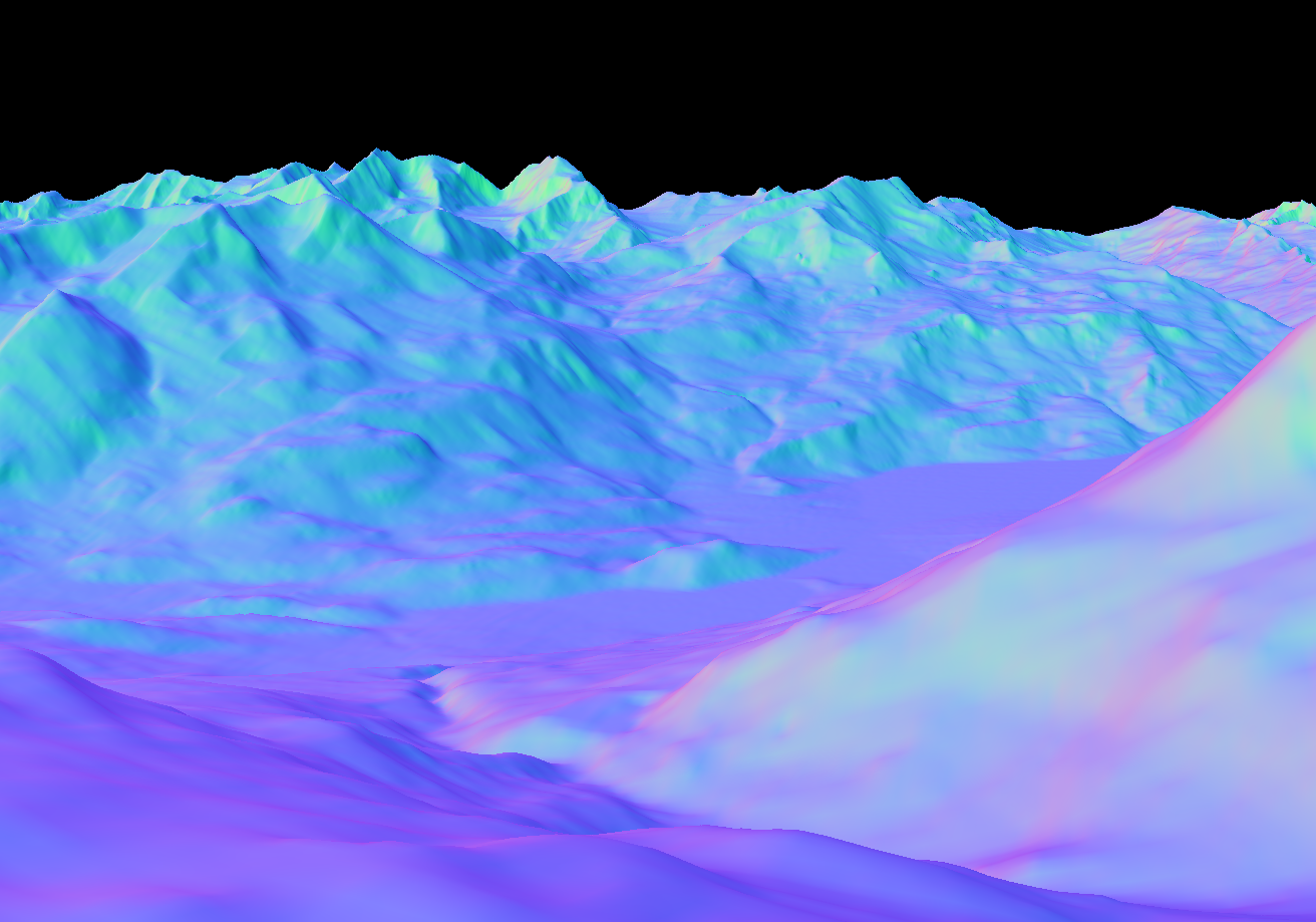
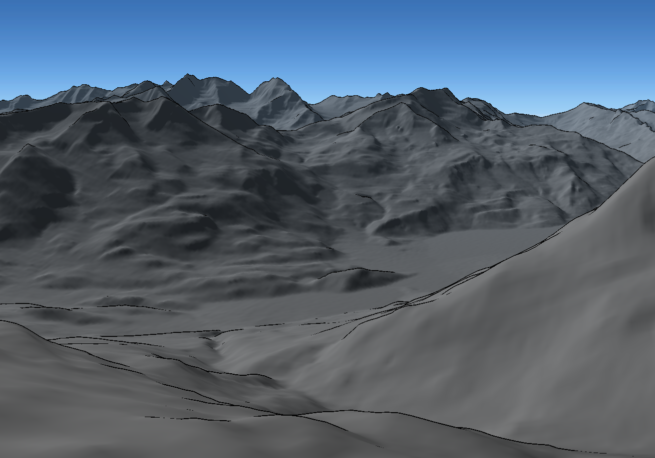
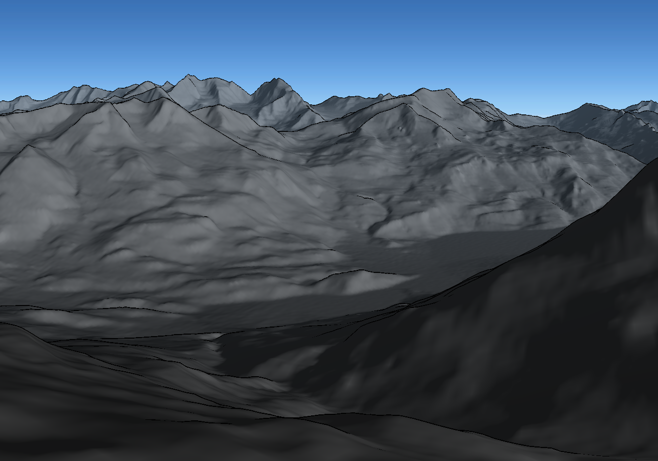
GeoPose3K is a dataset of more than three thousand photos with precise annotations of camera position and orientation. For each mountain landscape photograph, the dataset contains (in reading order) its GPS coordinate and camera orientation, distance from the camera in meters, normals w.r.t. camera, normals w.r.t. cardinal direction, semantic labels and approximate illumination during the day.


Downloads
- GeoPose3K dataset (38 GB, tar.gz)
- GeoPose3K Train/Val/Test Split
- GeoPose3K manuscript published in Image Vision and Computing, Elsevier 2017